After a summer of devastating fires that raged across much of the continent, Europe is building a permanent aerial firefighting reserve. Meanwhile, a new generation of aircraft offers heavier loads, shorter response times and options for unmanned operations, with some platforms able to fight fires into twilight and beyond.
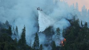
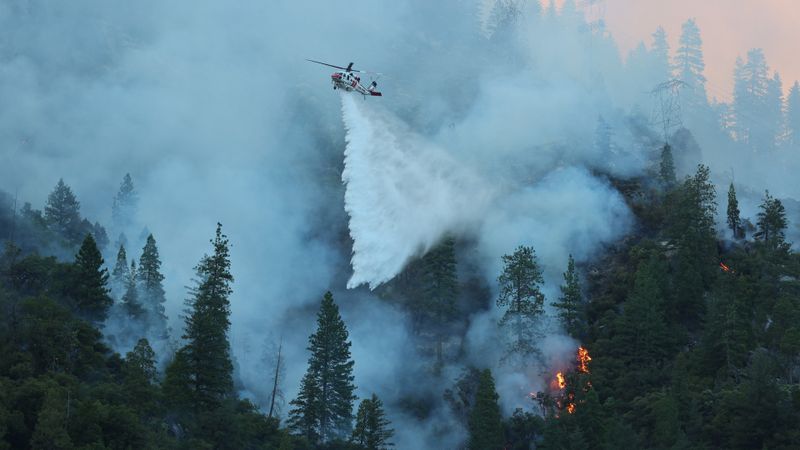
A Sikorsky S-70i Firehawk helicopter operated by CAL FIRE releases water over a burning hillside.
(Source: CAL FIRE / CC BY-NC 4.0)
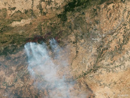
Raging wildfires: A Copernicus Sentinel-2 image, captured on 26 July 2026, shows a view of fires burning to the west of Madrid, Spain, in one of the areas that would end up being the worst affected. The European Union’s Copernicus Emergency Mapping Service was activated on 23 July to monitor and provide emergency mapping data. Near-infrared data highlight active fire fronts in the region around Ávila, approximately 100 kilometers (approx. 62 miles) northwest of the Spanish capital, while massive smoke plumes spread across the landscape. (Contains modified Copernicus Sentinel data, 2026, processed by ESA)
(Source: CC BY-SA 3.0 IGO)
The August fires exposed the limits of a response model built on a finite pool of aircraft and crews shared among countries that may face simultaneous emergencies.
Sign in or register and read on
Please log in or register and read this article. To be able to read this article in full, you must be registered. Free registration gives you access to exclusive specialist information.